
Ministry of Transport · National Travel-Time Project
Digital Road Network Basemap
How I built a production-ready system that creates accurate digital basemaps of urban road networks — the foundation for measuring real travel times across Israel's major cities.
Follow the storyThe question
From Raw Road Network to Production-Ready Basemap
To measure how traffic really flows through a city, you first need a precise digital map of every road segment — in each direction of travel. Off-the-shelf maps aren't accurate enough for that. So I built a system that creates these 'basemaps' from scratch, for Tel Aviv, Jerusalem, Haifa and Be'er Sheva.
The approach / 01
At the start of the process, the city's road network is loaded and broken down into directed segments — a two-way street becomes two separate one-way links, each with its own unique ID.
The approach / 02
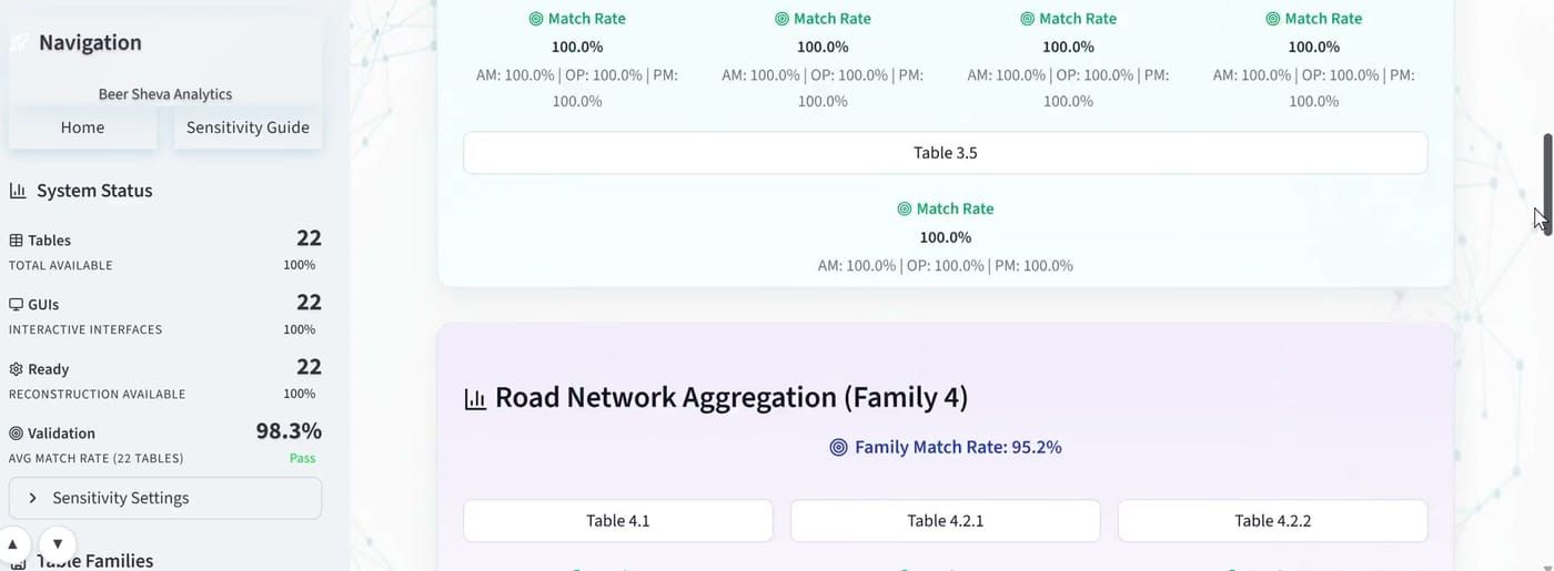
Each segment is then compared against real-world driving routes. The system automatically measures how well the two geometries match, and flags every mismatch.
The approach / 03
A dedicated visual review interface lets an analyst inspect each flagged segment on an interactive map, fix it with a few clicks — adjust endpoints, add waypoints, re-check — and approve it. Keyboard shortcuts make reviewing hundreds of segments fast.
The approach / 04
The result: a validated, export-ready basemap that feeds the national travel-time measurement system.
The evidence
The System in Action
A walkthrough of the basemap creation and review workflow.
The approach
Built AI-Native, End to End
I built this entire system — the data processing, the interactive review interface, the automated test suite, and the production deployment — using AI-native development workflows with tools like Claude and Codex. AI didn't just write code snippets; it powered the full cycle: architecture, implementation, automated testing, and production hardening. This is exactly the workflow I teach in my AI lectures and consulting.
Why It Matters
From evidence to a decision.
Transport agencies make multi-million shekel decisions based on travel-time data. An inaccurate basemap silently corrupts every measurement built on top of it. This system turns a months-long manual mapping effort into a fast, repeatable, quality-controlled process — already in production use across four metropolitan areas.
Every travel-time measurement is only as good as the map underneath it. This system makes sure that map is right.Get in Touch
The next perspective
Beer Sheva Model Validation
AI-native reconstruction and validation system.
Explore case studyAll projects